Scheduled Road Closures Map: Application Tutorial
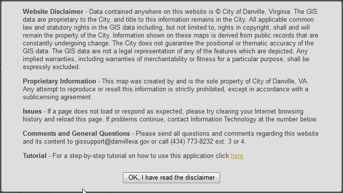
| When you open the application you will notice a disclaimer page. Please take a moment to read the disclaimer regarding the map and it's associated data. |
 |
| After agreeing to the disclaimer, the application will open onto the map itself. The initial extent of the map displays the scheduled road closures for the entire city. To the right of the map, the table of contents contains the map legend, a list of the current scheduled closures, and links to additional information regarding the map and it's associated data. |
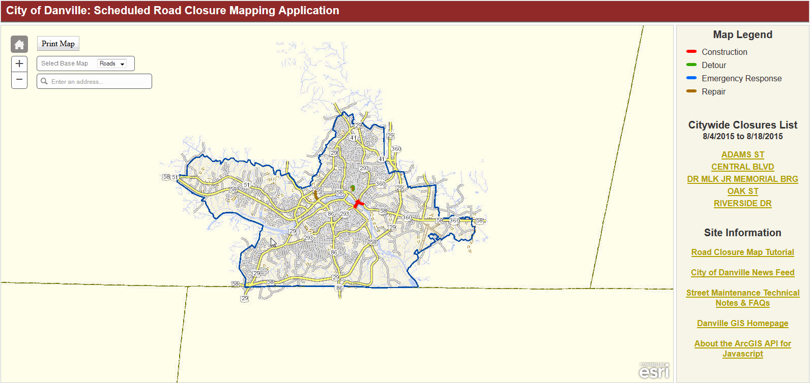 |
| The map legend displays the color gradients of the road closure types. | 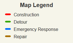 |
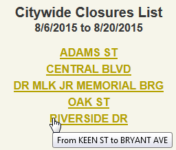
| Below the legend is the interactive list of current scheduled closures. Hovering the mouse-pointer over a listed closure will provide the beginning and end cross-streets for that closure. Clicking on a listed closure will pan and zoom the map to the closure location. |
 |
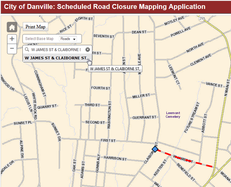
| If you would like to examine scheduled closures near a known location you can search the map by address using the address locator box in the top left corner of the application.
Executing this search will pan and zoom the map to the desired address (highlighted by a blue diamond). |
 |
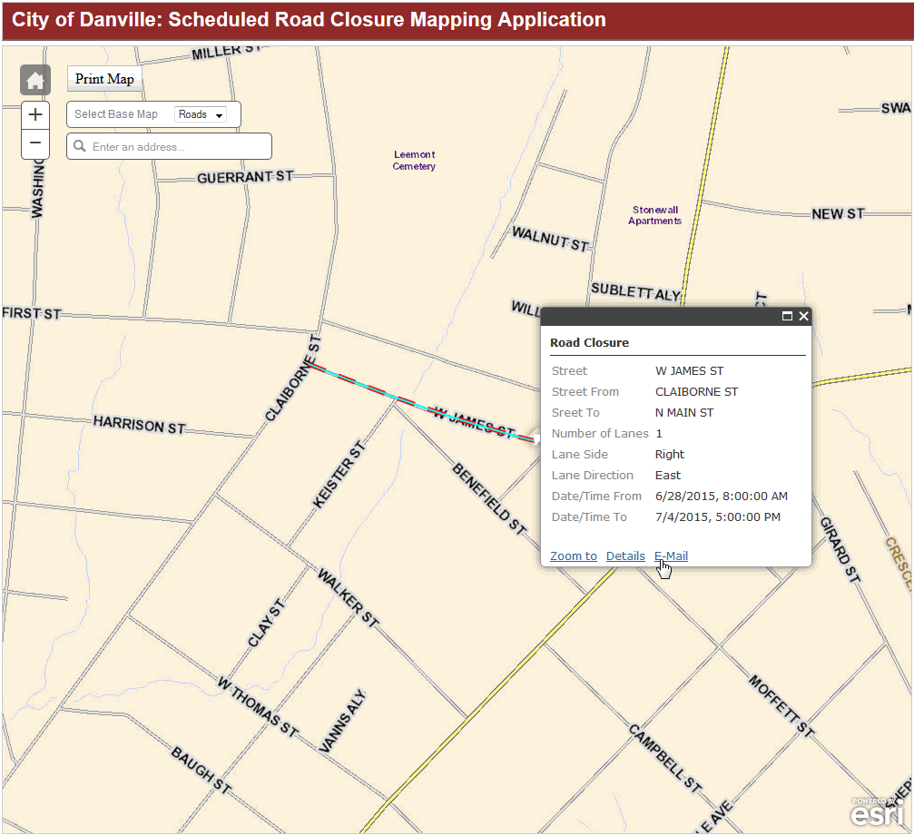
| After identifying an area of interest, click on a road closure. A pop-up will open displaying basic information about the scheduled closure.
Clicking on the 'Zoom To' link will pan and zoom the map to fit the closure to the size of your screen. Clicking on the 'Details' link will expand the popup with additional information about the selected road closure. Clicking on the 'E-Mail' link will launch your default e-mail application and insert a link to the currently selected road closure into the body of a new e-mail message. |
 |
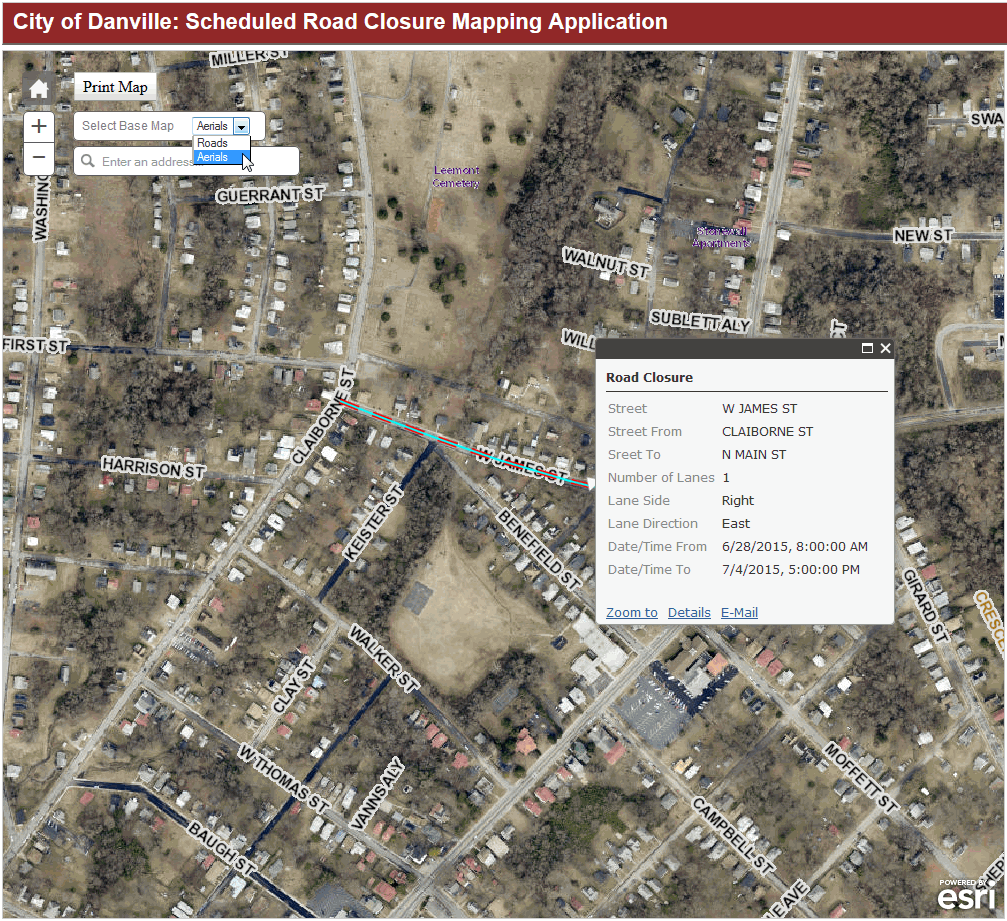
| The drop-down box at the top-left corner of the map allows you to select the type of basemap to be displayed.
The default selection provides a basic map of labeled city roads however, current aerial images are also available. |
 |